
02 · Service
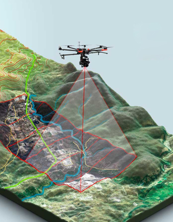
MappingTurninglandscapesintolivingintelligence.
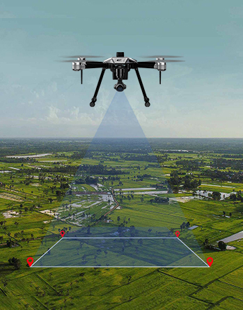
Urban, utility and natural-resource cartography — produced for governments, planners and field crews who need ground truth, fast.
Capabilities
Inside the Mapping pipeline.
Every capability listed below ships with full source data, a processing report and an optional dashboard layer. Bundle several together and we'll design a single workflow that touches your field, your office and your stakeholders.
- 01Urban Mapping→
- 02Utility Mapping→
- 03Natural Resource Mapping→
- 04Land Use / Land Cover→
- 05Soil Resource Mapping→
- 06Ground Water Mapping→
- 07Forestry Mapping→
- 08Resource Inventory→
- 09Environmental Impact Assessment→
- 10Disaster Management→
Process
Four flights from brief to dataset.
Step 01
Scope
We start at the question — coverage area, accuracy target, decision required.
Step 02
Plan
Mission plan, regulatory clearance and ground-control network sized to the brief.
Step 03
Fly
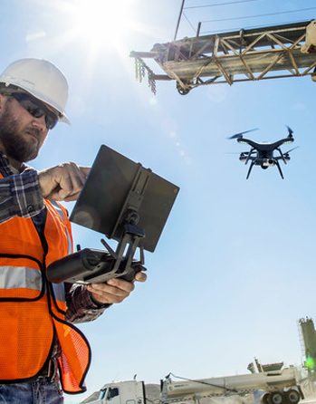
Crew deploys, captures, validates in the field, never leaves a flight unverified.
Step 04
Deliver
Raw data + processed outputs + dashboard, handed over with a deliverable report.
Other services
Bundle a complete pipeline.

Start a mission
Have a site, a question or a hunch?
We'll fly it.
Tell us what you need to know about your land, your asset or your harvest. We'll scope the mission, plan the route and deliver the data.