Soil is the most underestimated dataset in agriculture. A drone equipped with the right sensors can read it like a book — chapter by chapter, hectare by hectare.
A new layer on an old map
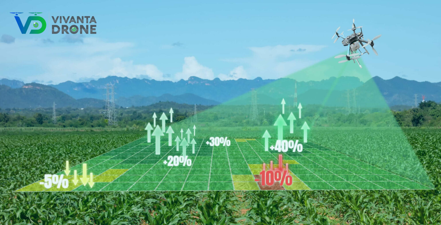
Soil sampling has always been a sampling problem. Crews dig pits, ship bags to a lab, wait six weeks. By the time the report arrives, the season has moved on. Drone-borne multispectral and thermal sensing turns that workflow into something closer to live telemetry: a snapshot of organic matter, moisture, and surface temperature, refreshed any time the aircraft flies.
What we actually measure
NDVI, NDRE, soil-adjusted vegetation indices, surface temperature deltas, and — when LiDAR is available — micro-topography down to the centimeter. Each layer tells a different story; together they tell a useful one.
Decisions, not data
The point of soil analysis is to act on it. Our deliverables come with prescription maps tuned to the customer's equipment — variable-rate fertilizer plans, drainage adjustments, replanting schedules. The dataset is interesting. The decision it unlocks is the product.
“The aircraft is just the tool. The mission is the truth it brings home.”